
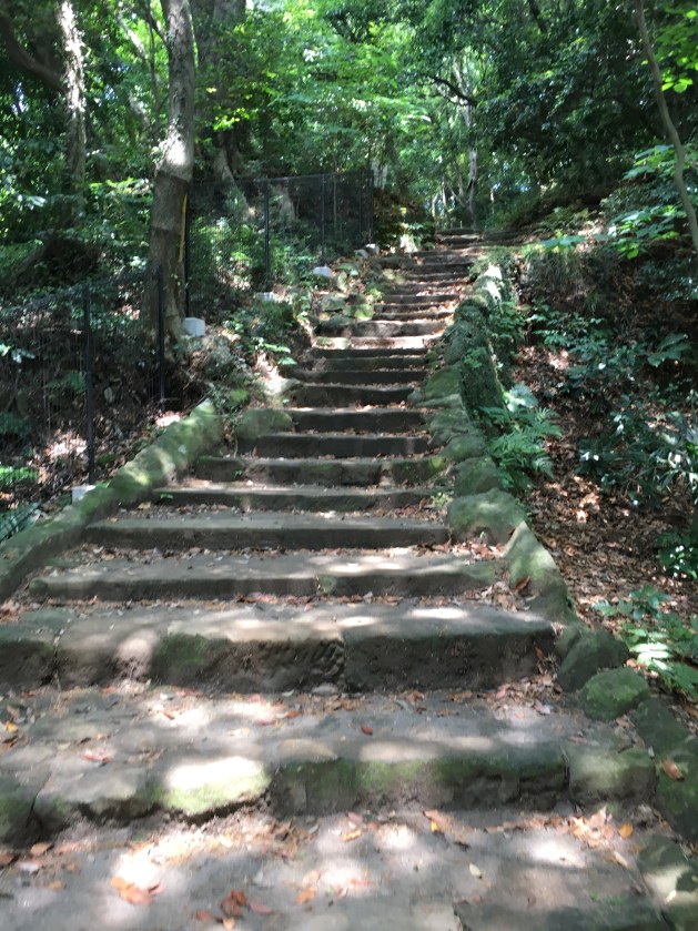
I have hiked the trails in Kamakura so much and visited the many Shrines frequently. Despite my wandering, I’ve never taken the time to determine how they are all connected. Today, Katie and I hiked the Daibutsu Trail with the intention of finding the trails to the Benzaiten Shrine (Money Washing Shrine) and the Sasukeinari Shrine (White Fox Shrine).
We met at 8:30 at Zushi station and took the train to Kita Kamakura. We were on our way hiking by 8:45. We needed to set out early because I had my first Japanese language class today. (More on that in a few.)
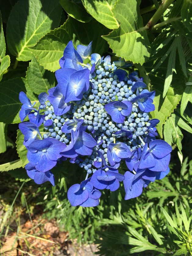
The Daibutsu Trail greeted us with hydrangeas from the start!


It was also good to start early because it is humid and warm. Rainy season has started and as a result, the foliage is green and lush.


We made it to the first small Shrine at the top of the small mountain in good time. We were again rewarded with hydrangea beginning to bloom.


Plus, the early bird gets the… turtle photo! Oh my gosh! So, cute!

And more hydrangea. I loved the contrast of the fresh blooms with the old tree.


We continued our way through the park and used Google Maps to help guide us to the Money Washing Shrine.


Before too long, we were walking along a trail that passed above the Shrine. We stopped and looked around the Shrine before continuing on our way.


Finding the White Fox Shrine from here was a little tricky. We used Google Maps to point us in the right direction. However, we couldn’t find the path. Instead we cut through the neighborhood and found our way along the streets.

Less than five minutes later, we found The White Fox Shrine.


Here’s our selfie at the Torii. I love exploring with this girl. Kindred VB spirits. She’s adventurous and chill even when we have no idea where we are going exactly. My only complaint is she makes me hike in front and then proceeds to talk about snakes. And yes, we saw one today. Katie’s spirit name is “snake whisperer.”

The White Fox Shrine is still so cute.


We made our way towards the back of the Shrine. On my previous visit, I remembered I saw a trail leading up and away from the Shrine. This time, we followed it.

The trail was a little treacherous and would be awful hiking after it rained. It was already slick and a bit slippery. We made it to the top without issue. And back to the main Daibutsu Trail. It was here, we realized how the trails and Shrines connected. We normally follow the trail to the Big Buddha. The trail going to the left will take you to the White Fox Shrine.


If only we could read Japanese, this might not be such a mystery. As we finished up our hike, hydrangeas waved us goodbye.


We took the train from Hase Station to Kamakura Station. We walked around Kamakura and bought a refreshing beverage before heading home. My Japanese classes are now going to be held on Tuesdays at another student’s house here in Ikego. Our teacher is my Friday English sensei. I wish I would have asked her a long time ago… like 18 Months. But, better late than never! I’ll let you know how my Japanese improves.


 Unfortunately, when faced with the choice to go right or left, I choose left. The trail led us back down the mountain. I should have gone right. I thought the trail to the right was only a dead end. It does have a dead end, but it also is the connection to Mt. Takeyama. I knew something wasn’t right when we were back so quickly to the farms and plum blossoms.